By Michael Scott ·
Start with the road network
A circle shows a fixed distance from your depot in every direction. Near a river, customers inside the same circle may have very different journeys to the depot. The bridge or road crossing determines the route.
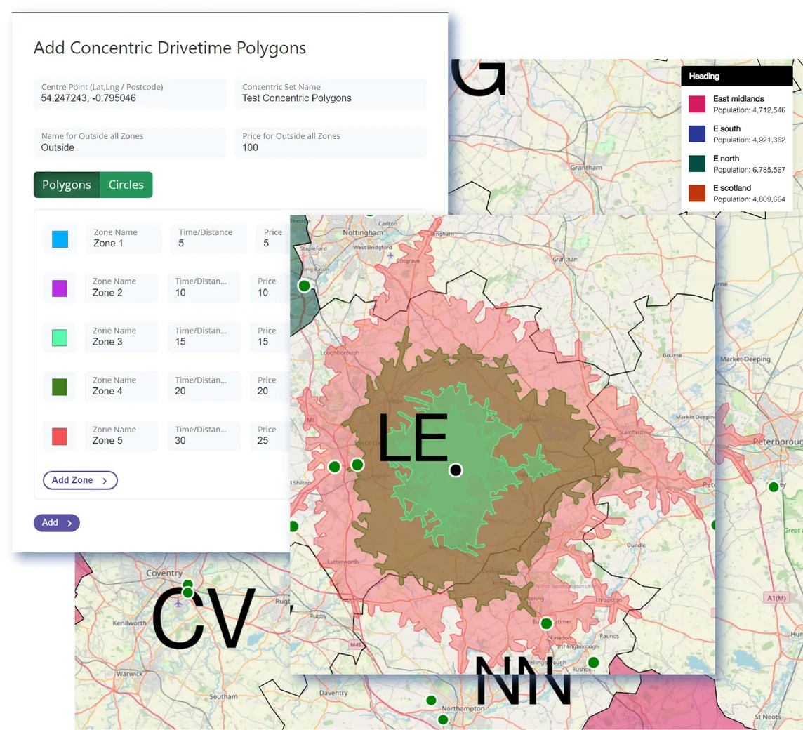
A drive-time boundary, also called an isochrone, follows the road network. Draw several boundaries from the same depot to compare the areas a driver can reach in different times.
Give each zone a delivery price
Choose the times that suit your delivery service. For example, a shop could use 10, 20 and 30 minutes. Give each zone a name and a price. Set the message or price for postcodes outside the last boundary as well.
Check a customer’s postcode
Search for a full postcode to see its zone and delivery price. Test a few familiar addresses on both sides of each boundary before sharing the map with colleagues.