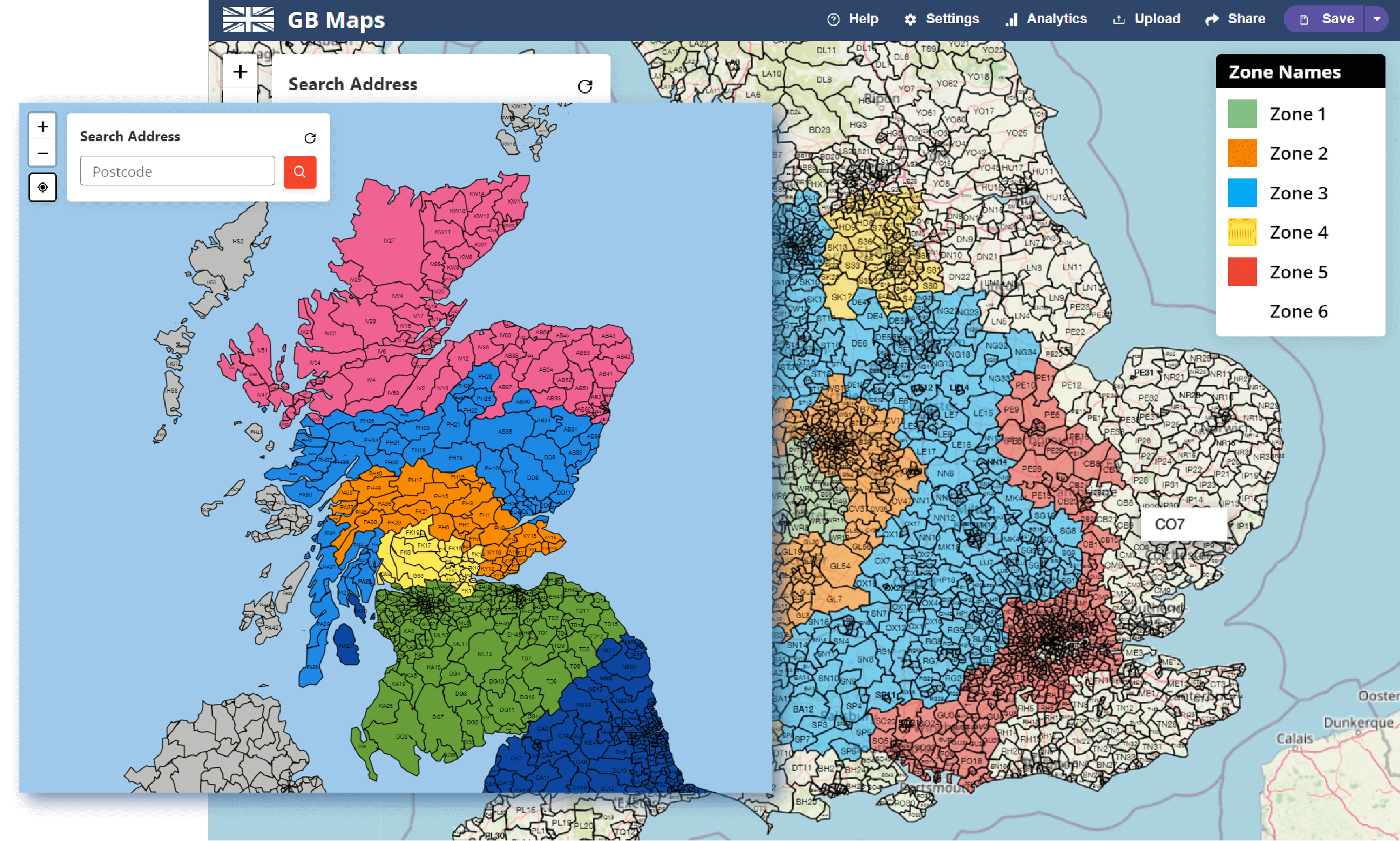
Use our tools to create advanced, interactive sales territory maps for your salespeople, delivery drivers and more.


Choose a background map Boundary maps are placed on top and are the highest possible quality Having them on top makes it Interactive


Postcode search outputs which coloured zone it's in If there are markers it will output which markers are in the same area and which is the closest If you have concentric drivetime polygons it will show which zone you're in. Great for assigning salespeople, sales territories, postage pricing as you'll get an instant answer for the closest and best suppliers/colleagues and prices
Concentric or individual drivetime zones Circles or how far you can get on different roads. Effective for delivery zones in built up areas. e.g. newcastle with the river as you can only cross in one place Postcode search will show which area you're in Assign prices to the zones to get the price when doing a postcode search Assign price and name to outside the polygon set to get a price for this area too


Population and statistical data is extremely helpful when creating sales areas or delivery zones. Two regions of a similar size could easily have very different populations.
Using our population and census figures feature you can show loads of different demographics for your coloured areas. From gender to age, we're adding more every day.
If you're sending your interactive map to clients or colleagues then it will be beneficial to understand how these users interact with your map.
The tool will track how many times your map is loaded and how people search for postcodes. These postcode statistics can be downloaded and used to create a heatmap in a new map. In a lot of cases this can greatly improve your customer/client knowledge.

We're happy to help with any questions or requests you have. Feel free to get in touch at any time.
Read through our FAQ's page. We've answered a lot of mapping questions.
Learn more about the history of gbmaps.com and this tool.